VESSEL FINDER – THE LIVE VESSEL TRACKING APP
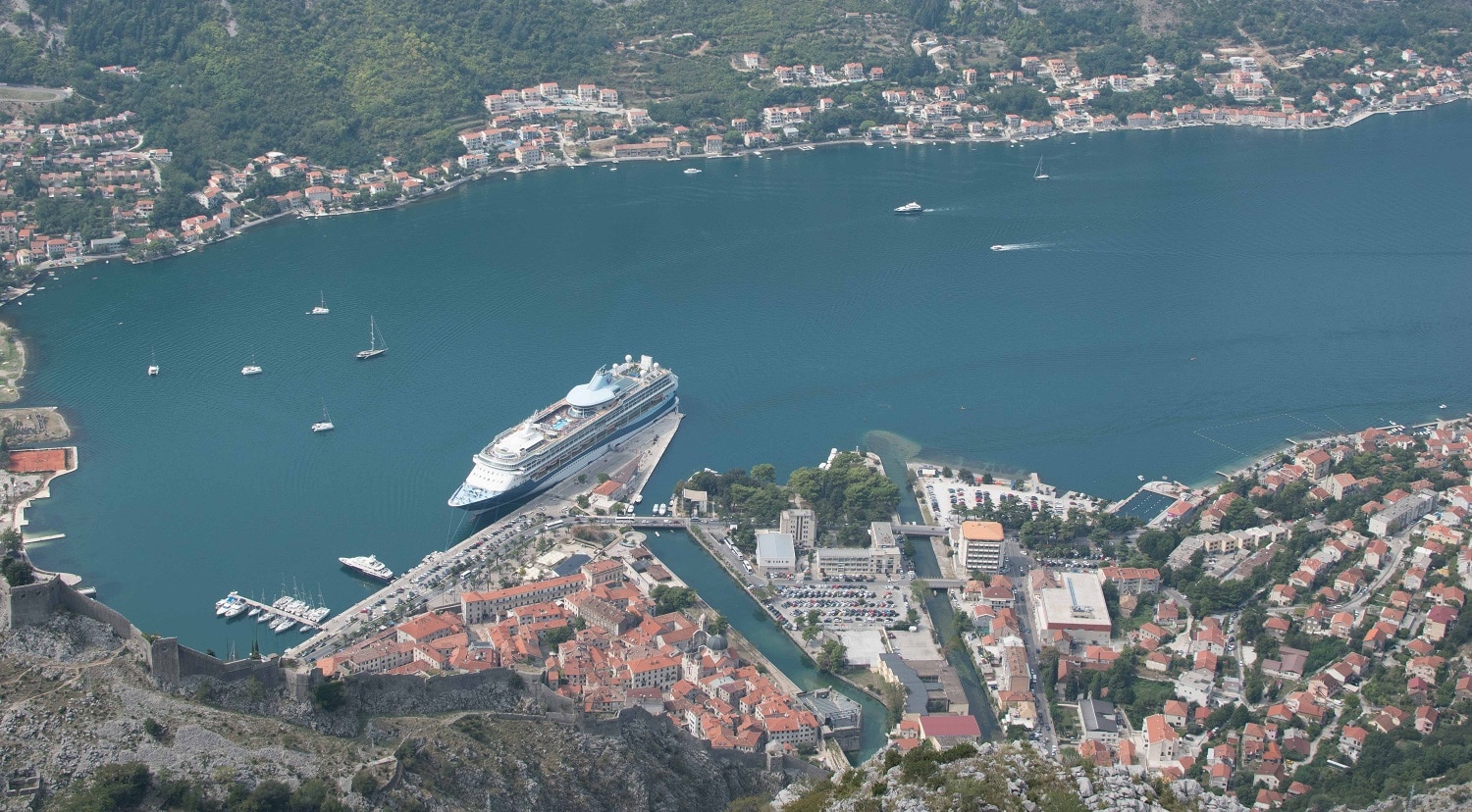
Vessel finder shows various types of vessels as shown on a live map. Isn’t it helpful? You can now maximize the use of this ship locator in-conjunction with Ship-Tracking.net. You can find an online free map inclusive of data coming from the central database with the use of an AIS (Automatic Identification System) technology. Don’t worry about the technicalities of vesselfinder because it’s easy to navigate. We keep in mind the ease of access for the users for them to get necessary information without hassle. Concerning marine traffic, it contains much-integrated features and layers. Specifically, at vessel finder, you won’t be able to find information concerning weather conditions like winds overlay. Some of its limitations are that VesselFinder service has fewer AIS receivers and do not cover the southern Adriatic area. On the contrary, it is the best tracker for boats often displaying small vessels in comparison to what Marine Traffic can offer.
You are assured that this ship finder has an efficient monitoring system, allowing users to access details about the existing voyage history of every ship, traffic density analysis, and video simulation of craft movements. To further give you an idea, vessel finder can track various types of vessels namely cargo crafts, tankers, passenger and cruise vessels, sailing crafts and yachts, high-speed crafts, fishing vessels, and military ships. It also displays those other vessel types / auxiliary aids and even notes those unknown vessels.
Who Uses Vessel Finder?
Numerous people are being interested in ship AIS service like vesselfinder. Who wouldn’t? Apart from the wide variety of information that can be accessed on it, it is also user-friendly. In just a click, essential information that you need can come as quick and as convenient as possible.
If we’re looking at vessel finder in the most basic level, it is regularly used by the ship spotters, hobbyist, and of course, crew members’ families. These are the people who want to monitor and follow the voyage of their loved one. They want to be updated with information about it. It makes them feel at ease at some point.
Moving forward to business purposes of vessel finder, the use of this platform is being maximized by multiple companies around the world. With all of the extensive information that can be found here, it is undeniably a perfect research tool for that wide-array of needs that can be significant to the NGO’, manufacturers, traders, media organizations, and even government. Its data collected is really wide-ranging and useful.
We’re not stopping there; the data is received and processed from the vessel finder is also helpful in understanding and studying the global demand and supply tendencies, specific niche, and even analyze competitors.
Most obviously, the experts of the shipping industry make use of vessel finder as they monitor the global fleet together with their ships as it is also playing an important role relating to business prospects identification.
The emergency response team can also make use of vessel finder to source out timely information and awareness in some emergency cases.
Vessel Positions on VesselFinder
It provides the up-to-date AIS position and other data concerning any vessels’ voyage as being reported by Terrestrial AIS stations or Satellites.
What’s good about this vessel finder’s feature is that there’s no limit when you request. The results may address a particular ship or several ships, depending on your preference. Its response is beneficial as it shows you the latest AIS position data which contains the voyage and the master data, precisely. The format will go out in XML or JSON format. To give you an idea, JSON files are much easier to understand since its human-readable than XML as it only supports text and number data type. As per the XML, it contains various data types like text, numbers, images, charts, and even graphs, which is much technical.
This service grants access to three different datasets, depending on the customer’s needs:
Vessel finder allows access to the user depending on their needs. Users can find AIS dataset which contains coordinates, course, speed, heading, current draught, destination, ETA, name, call sign, IMO, MMSI, AIS type, and even dimensions. Another type is the voyage dataset where you can find origin port name and LOCODE, country, and time of departure. Lastly, the master dataset of vesselfinder contains the detailed type of data about the ship, its flag, year of build, builder, ownership, capacity, as well as dimensions.
It can be a great tool for those who are developing a portal for end clients who wish to track their ships. Having said so, they need a regular update on the data about the latest position for various ships. Aside from that, you can also make use of it to explore and have an idea about your competitors’ trade routes as you will be able to see their fleets’ position and even the ports of origin.
Fleet Positions on VesselFinder
It contains data concerning a fixed list of vessels’ AIS position and voyage. The VesselsList API service allows users to access data of a predefined list of the ship that can be shown in JSON or XML format. Rest assured that the data being received, gathered, and processed has a global coverage since it makes use of the Terrestrial AIS stations (T-AIS) or Satellites (S-AIS).
In comparison to the vessel positions, it also grants access to users in three levels, namely, AIS dataset, voyage dataset, and master dataset. It allows the user to receive a regular update regarding the position of a vessel as fast as every 1 minute. It is not just limited to one; you can monitor your fleet of 20 vessels every minute. It is also helpful in tracking the world trade flow of LNG (Liquefied natural gas) thus; it needs to have updated information for the LNG tanker ships’ and it can be updated every 6 hours. Don’t worry, each API response will automatically provide you the data that you need as being reported by T-AIS or S-AIS network.
Vessel in Custom Area
Another feature of vesselfinder is this LiveData API service which enables the user to have access about the data of vessels in a specific area or port as the ship position information is being gathered as well by the Terrestrial AIS stations or Satellites. So, its coverage is global. It also provides data in JSON or XML format; you can choose whichever is much easier for you to understand. It also gives data depending on where the needs of a certain customer will fall as being compared with the previous service, namely, AIS dataset, Voyage dataset, and Master dataset.
If you want to monitor the numerous vessels using vesselfinder in a specific area, then it’s perfect for you. It also provides a regular update on your pre-defined area of interest. You just need to take note of it. If somehow you want to optimize port operations, and you like to explore cargo ships movement of a specific port, then make use of this feature in vesselfinder to access the data that you need and it will be provided for you.
Port Calss API
LiveData API service allows the user to obtain real-time position data concerning all vessels that can be found in a specific port or area. Data given is available in JSON or XML format, you can choose whichever is easier for you to understand. It also has three different datasets, namely AIS dataset, Voyage dataset, and Master dataset.
If what’s beneficial for you is monitoring all of the vessels’ activity in a certain area, you can make use of this feature that can be employ at vesselfinder as it allows you to get the latest updates about the position of all the vessels in your assigned area of interest. It can also be a tool that can help you optimize port operations.
Expected Arrivals on Vessel Finder
ExpectedArrivals API service contains information about vessels’ expected time of arrival (ETA) in a pre-defined port or area as being received, monitored, and processed by the AIS. Your query has no limits and could apply to various ports as specified by its LOCODE or coding scheme. It also has three different datasets namely, AIS dataset, Voyage dataset, and Master dataset, whichever meets your needs as discussed previously.
If you need to find the ETA of a certain ship arriving in the following 10 days, then you can have the details of it by using this as the API response with around 40 ships that are expected to arrive on your pre-defined locations.
Vessel Particular information
MasterData API service provides detailed ship information, technical specifications, manager and owner contacts for any ship with an IMO number. Each query to the API could apply for a different ship or a fleet of ships specified by IMO number and there are no limits on the number of queried ships or the interval of queries.
If you need a much extensive and technical dataset, including its capacity, ownership, and other information about a vessel, you can make use of MasterData API service as being introduced at vesselfinder. To be specific on the data, it contains much-detailed ship information, namely, IMO number, ship name, flag, detailed ship type, year of built, builder company, owner’s name, manager’s name, length, draught, gross tonnage, net tonnage, deadweight, TEU capacity and even crude capacity.