Marine Traffic – Track any ship or vessel anywhere in the world!
Are you looking for one of the best vessels tracking service worldwide? Well, you’re on the right page. We’re providing you details about marine traffic on how it provides its user real-time data concerning the ships, including but not limited to its locations, movement, port or harbor, place of production, dimensions, gross tonnage, and International Marine Organization (IMO) number, to name a few. To give you a brief idea about marine traffic, it was established from a community-driven project based on research collaboration with global academics. Having said so, marine traffic allows its users to submit photos of vessels and even rate the images uploaded by a certain user. It further develops the existing Information and Communication Technology. Until now, it never stops in gathering and presenting data which can be useful concerning marine telecommunications.
Marine traffic – What are the functionalities?
Marine traffic can be used for free or you can upgrade to premium which offers more advanced features and functionality. Marine traffic makes use of the Automatic Identification System (AIS). This is extensively used in the maritime world as a platform in exchanging navigational information between those AIS-equipped terminals. With the use of this, both the static and dynamic vessel information can now be automatically exchanged between AIS-receiving stations whether onboard, ashore or satellite-like monitoring the arrivals and departures in ports. Users can now see the actual position of ships on a map in real-time that is available on the website and mobile applications. Users can also follow their desired vessels using my fleet feature.
If you want to be timely informed concerning a various event on the vessel or a port, you can just set this up and get all the latest data via email, SMS or push notifications, which way is much convenient for you. All of the given information can be accessed using the free option. Moving forward to the data provided as you upgrade to premium plans, it is much actionable. The satellite AIS tracking is further advanced to a much wide-ranging global coverage. If you wish to gain more specific details about the ship like its class, dimensions, capacity engine, structure, and even ownership, it’s available on a specific plan. Lastly, you can also access vast historical data with billions of archive positions or export those data that you on website. All of that is possible with the more advanced or premium plan.
Check the video about how to use Marine Traffic!
An introduction to AIS and how it works with Marine traffic
Since marine traffic is a community-driven project, information that can be found on its official website came from thousands of volunteer Automatic Identification System (AIS) stations that are located in more than 140 states word wide. There are a continuous collection and processing of the data being transmitted via AIS and the receiving stations then pick-up those data and share it with the central database. Thus, allowing the exchange of information much easier by transferring useful data about the vessels like the unique identification number, its course, current position, and speed, to name a few. Employing such system, data that can be gathered are more extensive, and real-time coverage of vessels’ locations at thousands of ports can be provided.
There’s a systematic process that involves in the AIS principle. It starts by having the receiving stations united in a single network and then allows it to gather data from various applicable sources. What comes next is that it is being shared with the central database. Any vessels that have the appropriate equipment can then emit necessary data that is being captured by AIS receivers within the allowable range. The typical range of the AIS can be around 15-20 nautical miles if the external antenna is placed approximately 15 meters above sea level. If the stations are located on a much higher elevation, the range may be prolonged up to 40 – 60 nautical miles but is still dependent on various factors like elevation, obstacles around the antenna, antenna type, and even weather conditions. The most significant among those factors is the elevation of the antenna. It is suggested to place it higher to obtain better data and results.
The data gathered are encoded and decoded uniquely and categorized as dynamic, static, and specific. When it is labeled as dynamic, the data being gathered are consist of the position of the vessel, its current location, speed, course and the rate of turn. As being compared to static, it provides much specific detail concerning the vessel like subject craft’s name, International Maritime Organization (IMO) number, Maritime Mobile Service Identity (MMSI), and dimensions. Lastly, the Voyage-specific information contains the destination of a vessel, established time of arrival and draught.
The Marine Traffic Live Map and its functionality
All the AIS Marine data is constantly received, encoded and decoded. The most important details are then stored including the geographic information about ports, territories, and crafts’ images to site a few. Using that information, the users can now see it on a live map online allowing them to find the necessary data that they need. A live map is where users can directly track down any vessel around the globe. It has a feature of auto-refreshed to update the information promptly regarding the positions of any vessel. It can be zoom out to get a general overview of the global traffic or zoom in to be aware of much detailed information of a certain area of interest.
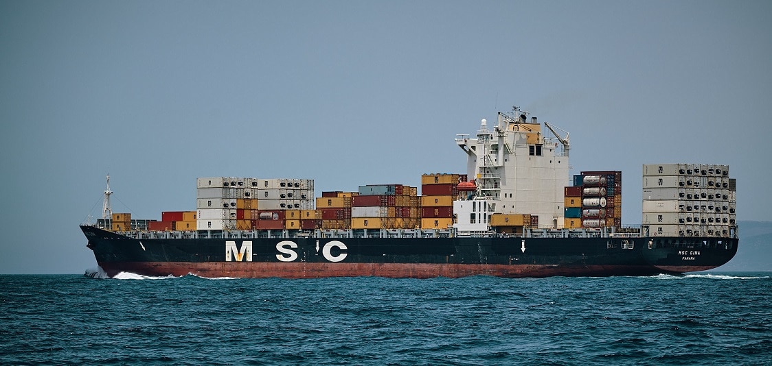
You will notice that vessels are displayed using colored icons and each icon corresponds to an actual vessel type. It can be cargo vessels, tankers, passenger vessels, high-speed craft, fishing, pleasure craft, navigation aids or unspecified ships. Other than that, other information related to maritime such as ports, marina, lighthouses or even AtoN or Aid to Navigation can also be displayed. On the left side of the live map, you can find a toolbar which allows you to take necessary actions and filter the information that you want to find out with ease and efficiency.
A live map is provided on the site and it is user-friendly, meaning to say easy to navigate and move things around. You can adjust the view to what’s more convenient on your part. It contains some layers like Simple, Standard, Satellite and Open Street Map Views. Don’t worry, it can easily be navigated even without experience. We’ve got you covered in dealing with this vessel tracker. If you wish to find a specific vessel and luckily you are aware of its name, then you can directly proceed with the map search. A drop-down list will then appear providing you areas related to what you’ve searched, making it quick and easy for you to find out what you’re looking for. As what you can see, it comprises a different type of vessels as seen on the live map.
A guide in using available filters on Marine Traffic
You have the option to upgrade your live map, in case you want it. By switching to a much-advanced live map, you can now access more layers and advanced filtering functionality. You can also customize various categories depending on your interest. You can now have much detailed information concerning the vessel type or even filter their characteristics like capacity, year of built, overall length and flag, include or exclude vessels base on load conditions.
You can play around all you want; you can navigate filters based on the information that you would like to know. If you want to be more specific, you can choose to show only the vessels heading to a certain port or already departed on the given port or filter it based on the last received position. As being said, more layers can be unlocked by switching to advance live map like the Emission control areas (ECA zones) layer, and daylight layer.
The ECA zones layer provides you a visual indication of the vessel’s proximity to any missions control areas and the daylight layers, on the other hand, allows you to be aware of the where the sunlight is on any given moment. Please be reminded that the live map refreshes automatically every minute to reflect the latest updates. For a much personal feel, you can choose the vessels icons that you want to appear on your live map. Additionally, you can also find filters concerning ports, marinas/small ports, stations, lights and aids to navigation and even photos. Don’t worry, all of the features can be adjusted. You can just switch them on or choose not to show details that are not necessary for you.
If you decided to click any port or even navigation aid, a pop-up window will appear inclusive of additional info on the object, you can click the button “details” to see the data being gathered. A new tab will then be opened to show you the information about the navigation aid and provide you the port details that you need namely, country, flag, latitude, longitude, local time, to name a few.
Different options to use Marine Traffic for free or pay for more extensive data
You can also access various data on a free mode like tracking the vessels’ location in real-time but if you want to dig deeper about it, you will be asked to provide necessary payment.
If you’re in a free mode, you can search for the vessels and ports or go to a certain area and even check its location. With regards to the available filters, it allows the user to use filters like the craft type, ports, small ports, stations, lights, ATONs, checking the projected ship course and even choosing your custom area. In addition to those features, you can also see the main wind barbs and temperature at a certain moment as time is also indicated.
In case you’ll be using it to track the shipment for some professional purposes, you go with a paid option. Rest assured that you’ll be able to see wide-ranging information about the certain vessel. It will then give you the freedom to apply filters that suit your needs based on the criteria provided like capacity, load condition, destination, and even current status, to name a few. With this paid feature, more map layers will be unlocked such as ECA, daylight, and time zone plus customizable crafts icons. Please be reminded that it has an auto-refresh feature and full-screen functionality allowing you to access much-updated information in real-time.
Aside from that, you can also gain access to vessel positions and weather information inclusive of around 22 weather map key metric layers. Meaning to say, you can get a vivid graphical presentation and forecast weather condition. Plus, you can also have a precise overview of possible hazards and delaying factors. Knowing the weather conditions and forecast, you can guarantee craft and crew safety and modify sailing routes to optimize them.
A more detailed voyage data is also made available for the users. Data that are included in this section and the specialized tools disclose info about the last voyage and vessel position for the 30 previous days, real-time and port of departure, current speed and even the estimated arrival at the port of destination, shipload condition, and the current status. As you notice, much extensive and detailed information can be accessed. It also gives you an opportunity to check past voyage of a specific vessel and its position details for the previous year.
Another feature is that it allows you to access Port Congestion charts for its weekly activity not just for the last three months but also for a year. Being aware with this allows you to identify rising congestions at ports, market trends, estimate port performance about waiting and operation times, make a prediction on how quickly the vessel of a market and the size class is being served at a given port.
You can also see the world if you prefer. Honestly, you can see the most recent satellite positions and even follow the global fleet.
You can try each option for free to know which one is well suited for you after the registration on the site. As you register, you’ll be creating your personal account and will only take you about a minute or less. It helps you to maximize and enjoy vast capabilities of the platform to their full extent.
Being a first-time user, you’ll see the log-in screen. Click on the register button and register using your email address or logging in through your social account like Linked In perhaps still depends on you. After following the traditional steps, you will then be asked to fill the registration form mainly about yourself and create a password. Once you’re done with this, you will receive a confirmation email to the account you have provided. Click the special link provided to activate your account. Please be reminded that the link in the sent to the registered email is valid only for 24 hours.
Who uses Marine Traffic?
People visited marine traffic either for their private or business needs. Majority of them uses the present ship locator and these users can be identified as those ship spotters, hobbyist, and crew members’ families.
For business-related purposes, the function of the site is being maximized by multiple companies worldwide like NGO’s media organizations, manufacturers, traders, and governments as well as it contains extensive and wide-array of data making it a perfect research tool. In a much wider perspective, data that can be gathered here can help an individual understand the global demand and supply tendencies, competitor analysis, markets, and tracking as well.
Moving on to those professionals in the shipping industry, they use it to monitor global fleet not just their ships.
We cannot predict when an emergency will arise, having said so, the response teams can also get here reliable situational information and awareness about emergency cases.
What Vessel Information is visible through Marine Traffic?
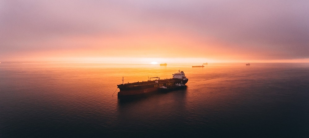
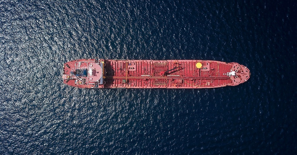
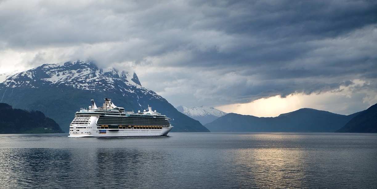
With the use of a perfect ship locator, you can see a detailed voyage history of every ship, traffic density analysis, and even video simulation of craft movements. Don’t worry, it’s user-friendly making it easier for you to operate. You have the option to watch time as UTC for you to see the crafts name all the time or switch it off, again, it depends on your preference. It contains details on over 4,000 ports worldwide including their description, arrivals and departure information, and crafts nearby. You can track certain types of a vessel on the map namely cargo crafts, tankers, sailing crafts and yachts, passenger and cruise vessels, high-speed crafts, fishing vessels, military ships, and other vessel or auxiliary aids.
A user can search ships either by name, MMSI (Maritime Mobile Service Identity), and the International Maritime Organization (IMO) number. To give you an idea, the database contains approximately 150,000 detailed information and is being presented in a pop-up table whenever you click on the ship that you’re interested in. To be specific, the image and the name of the craft together with the IMO, MMSI, ship type, destination, last port call, ships position, track, and history will be available as well.